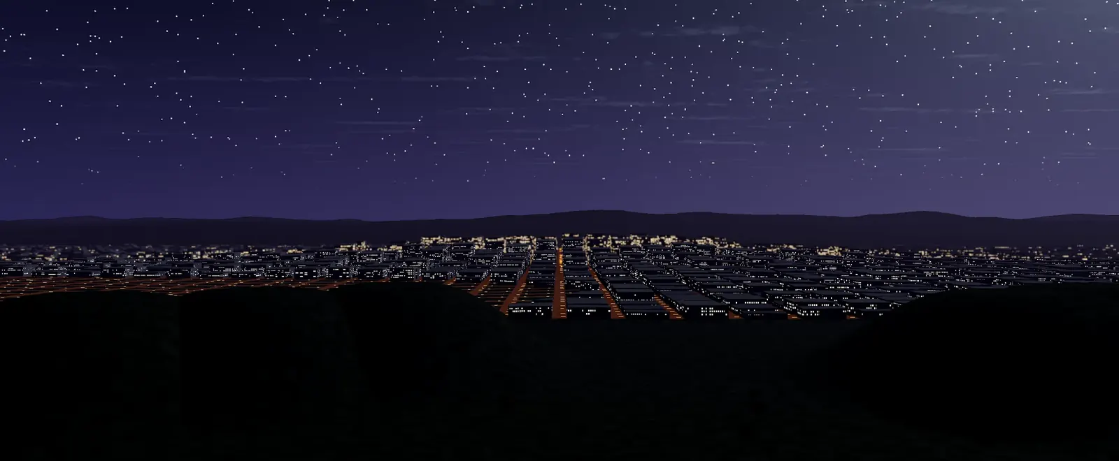

Google Street View is a feature of Google Maps and Google Earth that provides panoramic photographs taken at street level, allowing users to explore roads and places virtually. It first appeared in a few cities in the United States, with images captured by cars equipped with cameras on their roofs. It then expanded rapidly across the globe, using cars, tricycles, boats, snowmobiles and backpack-mounted cameras to cover places such as city streets, national parks and historic sites. The service raised concerns about privacy, leading Google to blur faces and licence plates, and some countries, among them Germany, allowed residents to opt out. A controversy also arose when it emerged that Google's vehicles had collected data from unprotected wireless networks.
Before and after
- 16 April 2007Virginia Tech shooting
- 22 April 20072007 French presidential election
- 23 April 2007Death of Boris Yeltsin
- 24 April 2007Discovery of Gliese 581d
- 25 May 2007Release of Google Street View
- June 2007Shut Up and Drive
- from 15 June 2007 to 19 June 2007Battle of Chora
- 19 June 2007When You're Gone
- 7 July 2007Release of HotCat
More in Science & technology
- 1955Discovery of mendelevium
- 14 February 1961Discovery of lawrencium
- 8 December 1994Discovery of roentgenium
- 1996Discovery of copernicium
- August 2003Discovery of moscovium
- 2006Discovery of nihonium
The era
This moment belongs to the Contemporary world (1945 CE to today), the world since 1945. You can also browse everything in the 21st century.