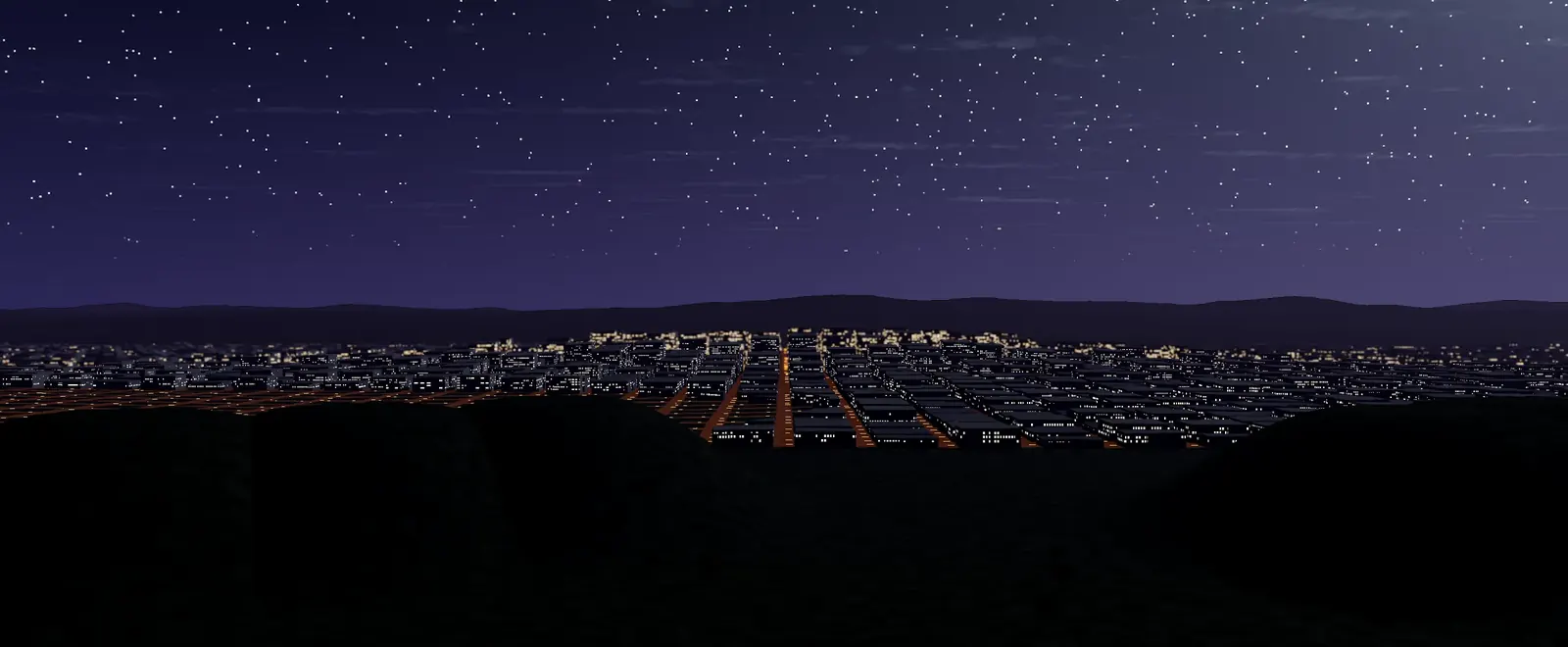

Google Earth is a program that shows the planet as a three-dimensional globe built from satellite and aerial images, allowing users to zoom from space down to street level. Its origins lie in a company called Keyhole, which developed the software in 2001 under the name EarthViewer 3D. Google bought Keyhole in 2004 and relaunched the product as Google Earth in 2005. Later versions added Street View, 3D buildings, historical imagery and tools for scientists and journalists. Google Earth has been used for education, environmental monitoring and mapping disasters, and it changed how many people see geography.
Before and after
- January 2001Release of Metacritic
- 2001Founding of Global Biodiversity Information Facility
- 2001Establishment of Phong Nha–Ke Bang National Park
- 2001Creation of C#
- 2001Release of Google Earth
- 2001Creation of Visual Basic .NET
- 8 January 2001Construction of Istanbul Sabiha Gökçen International Airport
- 15 January 2001Release of Drupal
- 15 January 2001Release of English Wikipedia
More in Science & technology
- 1945Discovery of promethium
- 1950Discovery of californium
- 1952Discovery of einsteinium
- December 1952Discovery of fermium
- 29 August 1982Discovery of meitnerium
- June 2002Discovery of oganesson
The era
This moment belongs to the Contemporary world (1945 CE to today), the world since 1945. You can also browse everything in the 21st century.